Catégorie:Vectorisation des plans historiques concernant Saint-Jean-de-Latran
Liste graphique de l'ensemble des plans à droite :


Pages dans la catégorie « Vectorisation des plans historiques concernant Saint-Jean-de-Latran »
Cette catégorie comprend 10 pages, dont les 10 ci-dessous.
1
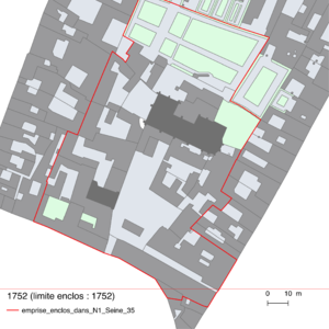
- 1752 Plan N 1 Seine 35
- 1757 Plan feu Delagrive BHVP 2-PLA-1124
- 1793-1798 Plan Verniquet
- 1807-2016 Elévation du niveau du sol de 1 à 2,5 m
- 1810 Plan cadastral AN N III SEINE 1415
- 1813-1816 Plan cadastral de Philibert Vasserot
- 1837 Plan lié au PV de visite succession Fabien
- 1852 Expropriation
- 1852 Numerotation